Getting Around Collingwood: Transit, Commuting, and Highway Access
Collingwood is a car-oriented town. That is the honest starting point for any discussion about getting around here. While the downtown core is walkable and the town has made investments in cycling infrastructure and local transit, the reality is that most residents rely on a personal vehicle for daily life. If you are moving here from a city with extensive public transit, adjusting to car dependence is part of the transition.
That said, Collingwood's compact size means that most errands are a five to ten minute drive, and the walkable downtown makes it possible to go car-free for certain activities. This guide covers the local transit options, cycling and walking infrastructure, highway connections, and commuting realities for those who work outside of town.
Local Transit: Colltrans
Collingwood's local bus service, Colltrans, operates routes within town and connects to Wasaga Beach. The system is modest compared to urban transit networks, with limited routes and schedules that run primarily during daytime hours on weekdays. Weekend service is more limited.
Colltrans is useful for residents who need to get between key points in town, including the hospital, the downtown core, major shopping areas, and some residential neighbourhoods. For visitors, it can help with basic navigation if you are not renting a car. However, for regular commuting or frequent travel, most residents find that a personal vehicle is more practical.
The town has explored expanded transit options in recent years, and service improvements may continue as the population grows. Check the Town of Collingwood website for current routes, schedules, and fare information.
Walking and Cycling
The downtown core is Collingwood's most walkable area. If you live within a few blocks of Hurontario Street, you can handle most daily errands on foot, from groceries and banking to dining and shopping. The harbour trail along Georgian Bay provides a beautiful walking route that connects the downtown to waterfront parks and residential areas.
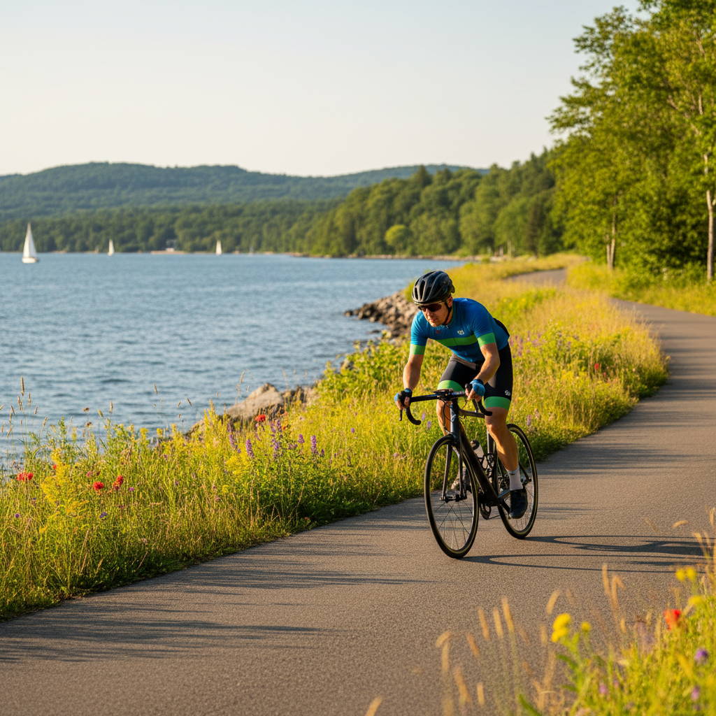
Cycling infrastructure has improved over the years. The Georgian Trail, a paved multi-use path, runs from Collingwood eastward to Meaford and westward toward the Blue Mountain area. It is excellent for recreational cycling and commuting during warmer months. Within town, some streets have dedicated bike lanes or shared-use markings, though the network is not comprehensive.
Winter changes the picture. Snow and ice make cycling impractical for most people from November through March, and walking requires appropriate footwear and caution on icy sidewalks. The town maintains sidewalk clearing on main routes, but residential streets can be slower to clear after storms.
Driving in Collingwood
For most residents, driving is the primary mode of transportation. Collingwood's layout is straightforward. Highway 26 runs through the south end of town as a bypass, connecting east toward Stayner and Barrie and west toward Thornbury and Meaford. First Street serves as the main commercial corridor, with grocery stores, retail plazas, and service businesses. Hurontario Street is the downtown main street.
Traffic within town is generally manageable, though certain intersections can get busy during peak hours and tourist season. The intersection of First Street and Hurontario, the Esso Corner, is a well-known bottleneck. During ski season weekends, traffic on the routes to and from Blue Mountain increases noticeably, particularly on Friday evenings and Sunday afternoons.
Parking downtown is free in most areas, with a mix of on-street parking and municipal lots. During summer weekends and events, parking can fill up quickly. The town has added more parking capacity in recent years, but arriving early for popular events is still advisable.
Commuting to Barrie
Barrie is the nearest major centre, located about 80 kilometres southeast of Collingwood. The drive takes approximately 45 minutes under normal conditions via Highway 26 East and Highway 400. This is the most common commuting route for residents who work in Barrie's employment centres, including the Royal Victoria Regional Health Centre, government offices, and commercial businesses along the Highway 400 corridor.
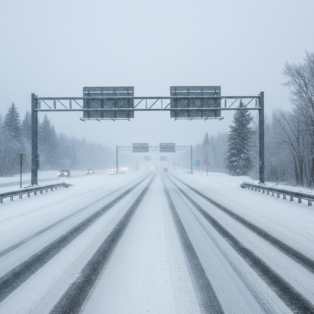
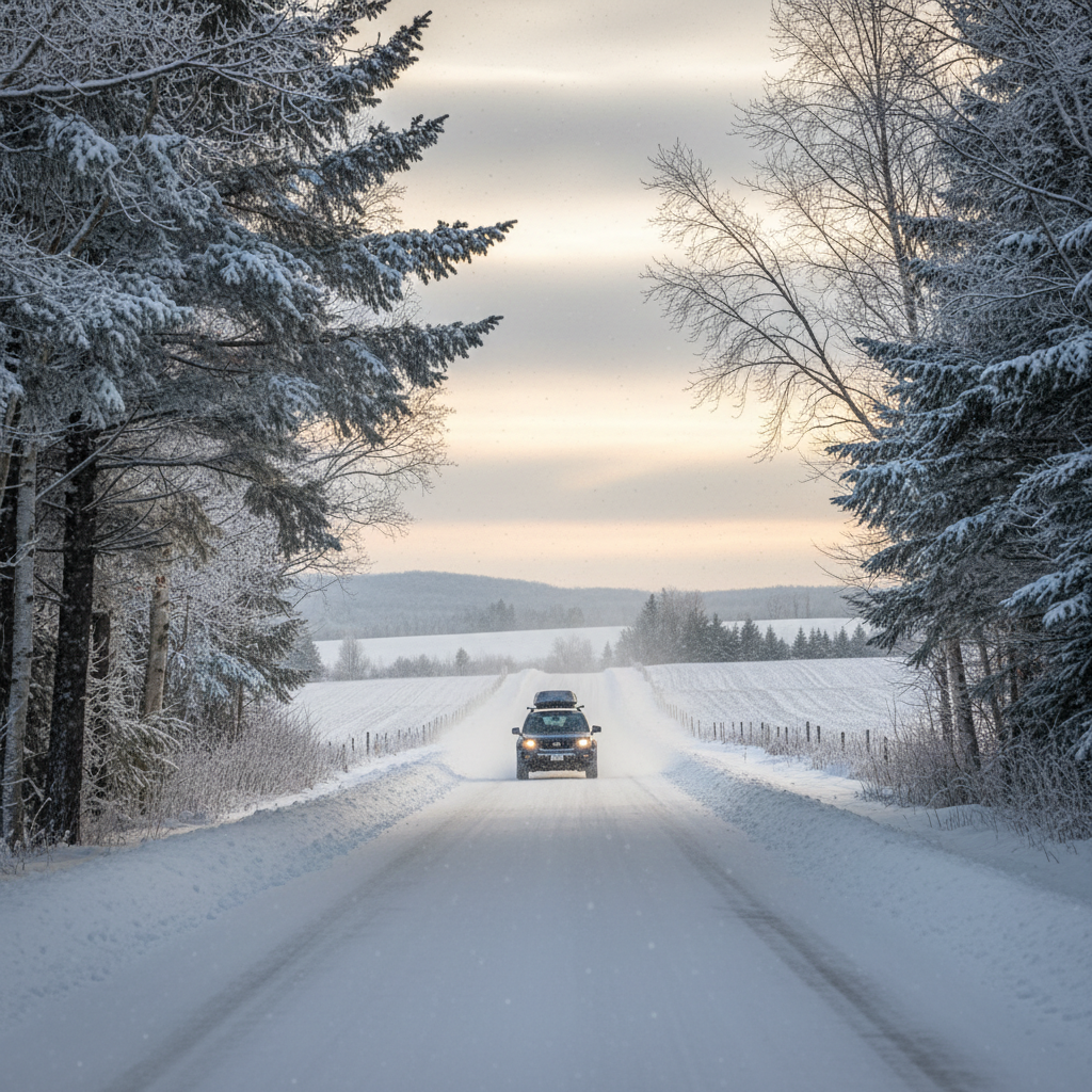
The road between Collingwood and Barrie is well-maintained but can be affected by winter conditions, particularly along the Highway 26 stretch through Stayner and the rural areas east of town. Allow extra time during winter and keep your vehicle equipped with proper winter tires, which are essential in this part of Ontario.
Some Collingwood residents commute to Barrie daily, while others make the trip two or three times a week as part of a hybrid work arrangement. The drive is manageable but becomes tiring over time if done five days a week. Carpooling groups exist among Collingwood commuters, which can reduce costs and fatigue.
Commuting to the GTA
Commuting from Collingwood to Toronto or the broader GTA is possible but demanding. The distance is roughly 150 kilometres, and the drive takes about 90 minutes to two hours depending on traffic and your specific destination. During rush hours, particularly on Highway 400 through Barrie and approaching Toronto, travel times can increase significantly.
Some commuters drive to the Barrie South GO Station and take the GO train into Union Station in Toronto. This adds time to the overall trip but eliminates the stress of driving in city traffic and the cost of downtown parking. The GO train ride from Barrie to Union Station takes about two hours, so the total commute from Collingwood to downtown Toronto via this route is roughly three hours each way.
For most people, a daily commute to the GTA from Collingwood is not sustainable long-term. The math works better for those who need to be in a Toronto office one or two days per week. The rise of remote and hybrid work has made Collingwood accessible to a much larger group of GTA-based workers than was previously practical. If your employer offers flexibility, Collingwood becomes a realistic option. If not, think carefully about the toll of regular long-distance commuting.
Highway Access and Regional Connections
Collingwood is connected to the broader region through several key highways. Highway 26 is the primary east-west route, linking Collingwood to Stayner, Wasaga Beach, Thornbury, and Meaford. Highway 400, accessible via Stayner or Barrie, is the main north-south corridor connecting to Toronto and northern Ontario.
County Road 124 runs south from Collingwood toward Shelburne and eventually connects to Highway 10 and the 401 corridor. This route is an alternative for reaching areas south and west of Toronto, though it is largely a two-lane road through rural communities and takes longer than the Highway 400 route for most destinations.
For travel further afield, Toronto Pearson International Airport is the nearest major airport, located approximately 160 kilometres south. The drive takes about two hours under normal traffic conditions. The Lake Simcoe Regional Airport near Barrie handles some charter and private flights but does not offer scheduled commercial service.
Planning Your Transportation
If you are considering a move to Collingwood, factor transportation into your decision. Most households here have at least one car, and many have two. If you work locally or remotely, you can manage with less driving. If you commute to Barrie or beyond, your vehicle will be your lifeline.
For visitors planning a trip to Collingwood, our getting here guide covers directions from Toronto and other starting points. Residents looking for the broader picture of daily life should explore our living here hub, which covers healthcare, schools, community life, and more. And for those just arriving, the neighbourhood guide can help you choose a location that minimizes your daily driving based on your priorities.